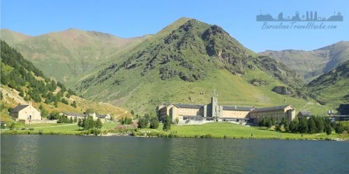
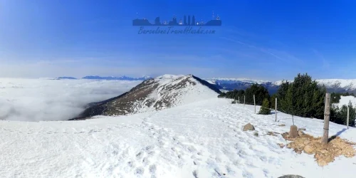
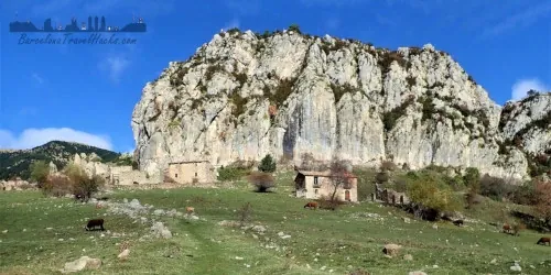
A list of hiking trails to enjoy in the Catalan countryside
Catalunya has the best natural parks in Spain for hiking. Find popular hiking trails for all levels for that perfect day or weekend getaway
Description of Barcelona & Catalonia Hiking
Catalonia has incredibly green natural parks. Unlike the southern parts of Spain (which are a savannah type landscape) the natural spaces in Catalunya have much greater bio-diversity with some beautiful forests, mountains and deltas.
On this page I have included train or bus accessible walking routes for all levels of hikers. Additionally, there are some famous routes and natural parks that are worth the effort of hiring a car to visit.
Click on any of the below photos to find the details about how to repeat my trails. Each one comes with useful information about:
- Relevant history about the area and any ruins or geological interests that you may come across
- Best time of year to visit
- weather forecasts
- My recomendations for what to pack in your hiking rucksack
- Getting to information with train or bus route downloadable PDF maps
- Wikilok hiking trail
- Complete photo gallery
- Where to eat and get snacks
- Difficulty ranking of route (easy, Medium, Hard)
Happy Exploring!
Map of Hiking Trails
6 Montserrat and Manresa Area Trails
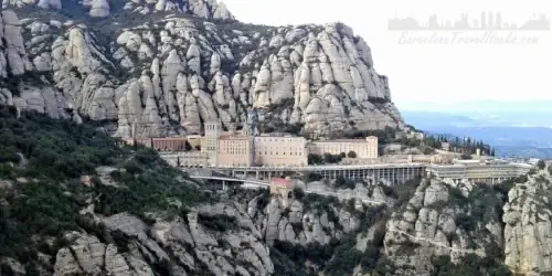
Montserrat is probably the number one tourist trip for Barcelona visitors. It is the religious centre of Catalunya with a monastery, basilica, Museums, restaurants and a hotel. It is a mountain top religious centre and world famous pilgrimage destination.
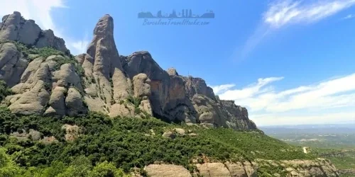
Montserrat is also a mountain range and natural park with very unique geology and ideal for easy and beginner hiking and climbing with its flora, fauna and abandoned hermitages.
Getting to Montserrat monastery is very easy. It is about 1 hour by train from Barcelona with the option of completing the last leg from Monistrol up to the monastery via a cremallera racked railway or a cable car.
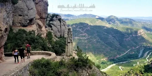
From the Monastery there are well established trails to Sant Jeroni summit and around the many hermitages such as Santa Anna, Sant Onofre, Sant Miguel and Santa Cova. Click on any of the images below to read about that route, view the photo gallery and find public transport maps for the relevant train or bus network that will get you to the start and finish of each section. Additionally there is a wikiloc walking route for each activity.
La Puda de Montserrat Abandoned Thermal Baths ruins
Former luxury spa and bathhouse with sulphated water from nearby natural spring for its health properties. Known for its urban graffiti art. Private ruin.
Read more >
Abandoned Hotel Colonia Puig To Montserrat Monastery
11km linear route from Monistrol de Montserrat via Abandoned 1910 hotel Colonia Puig, Sant Benet & Sant Cecilia monasteries finishing at Montserrat monastery
Read more >
Montserrat Sant Jeroni sumit from Colbato Via Bus
17 km route to Sant Jeroni, sumit of the Montserrat mountain range from Colbato via vineyards, rural restaurant & several abandoned hermitages.
Read more >
Montserrat Monastery and Easy mountain Santa Cova walk
An EASY 1.4 Km route from Montserrat Monastery via Cami de la Santa Cova to Santa Cova chapel via monuments and sculptures with a distinctly religious theme
Read more >
Sant Jeroni mountain summit from Montserrat Monastery
A MEDIUM circular route Montserrat Monastery to Sant Jeroni Summit viewpoint via Santa Anna, Sant Jeroni, Santa Magdalena, Sant Joan and Sant Miquel hermitages
Read more >
Montserrat Monastery and easy mountain hermitage walking route
Easy 7km circular route from Montserrat Monastery that passes via several abandoned hermitages and viewpoints in the Montserrat Mountain range
Read more >
7 Parc Collserola Trails
Behind Barcelona is the sierra de Collserola mountain range and the 84.65 square Kilometer Collserola parc natural where there lies a wealth of woodland, fields and rivers in a protected park with a wide variety of Mediterranean flora and fauna. Collserola is often referred to as the lungs of Barcelona.
Carretera de les Aigues is a walking, running and cycling path on the city side of collserola parc below the ridgeline that has purpose-built viewing points for superb views of the city. Collserola also contains traces of early settlements, including the Iberian village of Serra del Moro, the Gothic castles of Castellciuro and El Papiol, old farmhouses, such as the famous Villa Joana, abundant natural springs, including La Budellera and an abandoned casino hotel complex. Collserola was also mined heavily for natural stone and aggregate used for construction.
Click on any of the images below to read about that part of the park, view the photo gallery and find public transport maps for the relevant train or bus network that will get you to the start and finish of each section. Additionally there is a wikiloc walking route for each activity.
Parc Collserolla Abandoned Rabassada Hotel and Casino
Abandoned since 1930, ruins of Hotel (1901) and casino (1911) that was a playground for the wealthy of Barcelona until Gambling was banned in 1912
Read more >
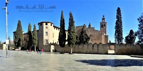
Sant Cugat Monastery and Wine Cellar near Parc Colserolla
Walled monastery & church museum. The wine co-operative was founded in 1921 by 50 local wine makers as a place to process the grapes
Read more >
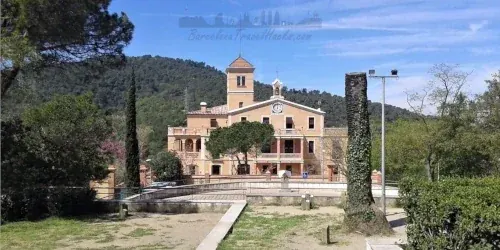
Parc Collserola Jacint Verdaguer Vila Joana museum
Farmhouse, later summer home of writer Jacint Verdaguer till his death in 1902, then a school 1921 - 1973. Now it is a Museum about Jacint Verdaguer
Read more >
Parc Collserola Sant Feliu Abandoned Cement Factory
Easy 14km walking route from Renfe Sant Feliu de Llobregat to Moulins de Rei via an abandoned cement factory and mine complex in Parc Natural de Collserola
Read more >
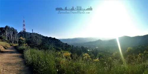
Parc Collserola Sant Pere de Martir to Valvidrera Reservoir
Easy 7km walking route in Parc collserola to Sant Pere de Martir telecoms tower and along ridge with views of Barcelona terminating at Vallvidrera reservoir
Read more >
Parc Collserola Caraterra de Aigües walk or Cycle
A great walking, running and cycling route in Collserola foothills with spectacular views of Barcelona city. Accessible from multiple points in Barcelona
Read more >
Parc Collserola La Rierada to Escaletes and El Papiol
Beautiful 12km EASY walking route in the Collserola natural park following the Vallvidrera river via sheltered forest trail with waterfalls
Read more >
7 Montseny Natural Park Trails
The Montseny natural park is a protected area in Catalonia of outstanding natural beauty. In 1978, UNESCO included it in the MAB (Man and Biosphere) World Network of Biosphere Reserves.
Monseny is a combination of mountain summits, cliffs, rivers, waterfalls, plains and woodland areas visible from many parts of catalunya known for the beauty of its scenery.
Montseny has a broad amount of bio-diversity due to the varying conditions with dark green Mediterranean trees of holm and cork oaks and Atlantic climate trees of clearer green such as beech, maples and white beams which become yellow, red and ochre in autumn.
The differences in humidity and temperature permit vegetation such as ferns that that thrives in the shade of the forests. Montseny has diferent zones according to altitude. Typical Mediterranean plants are found in the lower parts (Holm oak, pine and cork oak). Middle mountain types that thrive in rain are higher up (Oak, holm oak, chestnut). At altitudes over 1,000 metres, there are Beech, silver fir trees. Near to rivers and waterfalls are White willow, Hazel and Common alder.
In winter, sometimes snow covers the highest parts of the Montseny summits. The best season for a visit to Montseny is Autumn and early winter. October, November and December are the best months.
Tagamanent Castle Summit Circular Mountain Hiking Route
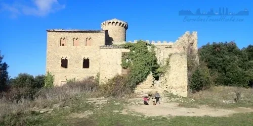
16km circular route from Sant Martí De Centelles via Parc Etnològic de Tagamanent to a ruined castle. Only 1 hour from Barcelona on the train
Read more >
Tagamanent Castle Ruin from Figaró via Vallcàrquera River
14km linear route from Figaro to Sant Martí De Centelles via Vallcàrquera river valley to Bellver Farmhouse Restaurant and Tagamanent Castle ruin
Read more >
La Garriga to Figaró via Cingles de Bertí & Clascar Castle
A 17km route via Puiggraciós Church and semaphore, Clascar castle ruin, along the top of a cliff wall. Spectacular valley views, returning via a waterfall
Read more >
Montseny Mountain hike from Coll Formic to Matagalls
13 Km circular autumn hiking route to Matagalls summit, Sant Miquel chapel & Sant Seigimon Monastery Restaurant via forest trails famous for the many coloured tree leaves
Read more >
Montseny Valldrau to Sant Segimon via waterfalls
16 Km circular hiking route to Sant Segimon Monastery Restaurant via forest trails and waterfalls. Famous for the Viladrau Chestnut fair
Read more >
Montseny River Gualba Waterfalls to Santa Fe
16Km medium-hard linear uphill autumn hike via Santa Fe & Gualba rivers, waterfalls, forests & a reservoir. Option to stay overnight in Santa Fe
Read more >
Montseny Santa Fe to Breda via Sant Martí de Riells
18Km medium-hard linear downhill autumn or summer hike from Santa Fe reservoir to Riells and Breda via forests & rivers with valley views
Read more >
4 Aigüestortes Natural Park Trails
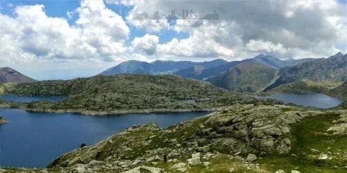
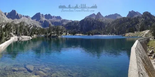
Aigüestortes, Aigüestortes i Estany de Sant Maurici Parc Nacional, is a mountain range with peeks rising to just under 3000 metres, large lakes, rivers and waterfalls. Aigüestortes is located in the central Pyrenees about three and a half hours from Barcelona and is my favorite National Park to visit in the Summer. I consider Aigüestortes to be one of the most beutiful places I have visited in Catalonia. Parc Aigüestortes i Estany de Sant Maurici is one of Spain's nine national parks and the only one in Catalonia.
Aigüestortes Vall de Fosca Lakes and Reservoirs Hiking
Challenging 14km circular hiking route via seven glacial lakes in high mountains of Aigüestortes Vall de Fosca using a cable car to climb to Estany Gento
Read more >
Aigüestortes Peguera Valley Black Lake & Reservoirs Hiking
A challenging 15km circular hike from Espot to black lake, Refugi JM blanc & Tort de Peguera lake in Aigüestortes natural park via the Peguera river valley
Read more >
Aigüestortes Sant Maurici Lake & Ratera Waterfall Hiking
Easy 12Km linear hiking route along Río Escrita to Estany Sant Maurici (largest Aigüestortes lake), Cascada de Ratera waterfall & Estany Ratera
Read more >
Aigüestortes Llavorsí to Rialp Whitewater Rafting
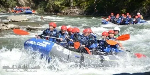
Guided route from Llavorsí to Rialp to experience whitewater rafting in the Noguera Pallaresa river. Discover the adrenaline of whitewater rafting safely
Read more >
12 Spanish Pyrenees and PrePyrenees Trails
The Catalan Pyrenees mountains are a beautiful place to go to escape the summer heat of Barcelona and to do winter sports such as skiing or snow shoe hiking. The Pyrenees has two resorts that are easily accessible by train - Vall de Nuria and La Molina. The pre-Pyrenees are small mountains before the Pyrenees with rivers, waterfalls and meadows for hiking, camping and swimming
Click on any of the images below to read about that part of the Pyrenees or Pre-Pyrenees, view the photo gallery and find public transport maps for the relevant train or bus network that will get you to the start and finish of each section. Additionally there is a wikiloc walking route for each activity.
Taga Summit Pyrenees mountain hiking from Ribes De Freser
17 Km meduim hike from Ribes de Freser to the summit of Taga mountain via cattle grazing hills, pine forests and mountain ridges. Spectacular panoramic views
Read more >
Pyrenees Ribes De Freser To Vall De Núria Via Queralbs
15 Km walk from Ribes de Freser to the Núria resort via the spectacular vall de Núria mountain valley, Queralbs village & waterfalls
Read more >
Pyrenees mountain hiking Puigmal Summit From Núria Resort
10 Km walk from Núria resort to Puigmal summit via cattle grazing hills, pine forests and a mountain river to the summit. Spectacular panoramic views
Read more >
Pyrenees hiking via Serra De Montgrony from Toses to Planoles
13 Km walk from Toses to Planoles via Serra de Montgrony mountain ridgeline giving spectacular 360 panoramic views descending and climbing to each peak
Read more >
Pyrenees Vall De Núria Rack Railway & Queralbs village
Spectacular & Scenic Cremallera de Núria rack mountain railway. Ribes de Freser to Núria Resort via Queralbs village. Prices and ticket info
Read more >
Pyrenees Vall De Núria Resort Hotel & Restaurant Complex
Núria Resort is a winter and summer hotel restaurant mountain complex with ski slopes, ski lifts and great mountain hiking trails 5km from the French border
Read more >
Snow Shoe Hiking in Serra de Montgrony from Campelles
15Km circular snow shoe hiking route from Campelles village near Ribes de Freser in the Serra de Montgrony mountain range
Read more >
The 7 Waterfalls of Campdevànol Hiking Route
14km route via grazing hills to the torrent de cabana river which has 7 natural waterfalls surrounded by forests. Great place to go bathing in the summer
Read more >
Cingles de Malanyeu Autumn and Winter 14 km hiking route
Circular route via enchanting beach & oak forests to a ridgeline path with views of the high Pyrenees including Pedraforca plus secret waterfall desent path
Read more >
Peguera Abandoned Lignite Coal Mine Village Hiking
14km circular hiking route from abandoned village of Peguera to Roca Blanca & Gallina Pelada summits plus Museu de les Mines de Cercs
Read more >
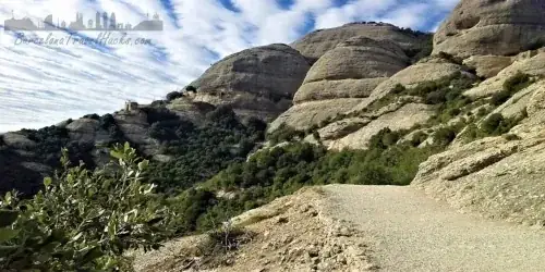
Easy Snowshoe hike la Molina Cable Car Station Niu de l'Aliga
Getting to La Molina Ski Resort by public transport, information about the activities and services, Snow shoe activity for beginners
Read more >
Pedraforca Circular Mountain Hiking Route from Gósol Village
Second most famous mountain in Catalunya. Pyrenees twin peaked summit medium circular 14km hiking route for summer or winter
Read more >
5 Andorra and French Pyrenees Trails
Crossing the Border into France or Andorra are great Pyrenees mountain trails for a weekend getaway or longer rural break.
French Pyrenees Weekend - Pic de Carlit Mountain Hike
15km Medium-Hard vertigo inducing circular mountain hiking route via lakes of the lac de Bouillouse French Pyrenees region to the 2921m Pic de Carlit summit
Read more >
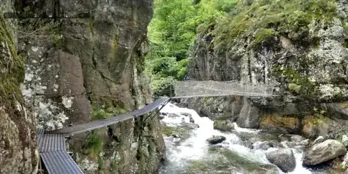
French Pyrenees Weekend - Gorges de Carançà
12km circular scenic hike along Carançà river valley via suspension bridges and canyon side walkways along a forested Pyrenees mountain river
Read more >
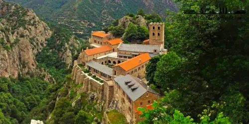
French Pyrenees Weekend - Abbaye Saint-Martin-du-Canigou
13km circular hike from Vernet-les-Bains via forest waterfalls to the 11th Century Saint-Martin du Canigou Abbey and viewpoints in the Canigou mountains
Read more >
Andorra's Vall d'Incles Pyrenees Mountain Hiking
Considered one of the most beautiful hiking areas in Andorra. An ascending pine forest walk leads to a mountain plain with lakes & waterfalls
Read more >
Andorra's Pic de pessons Pyrenees Mountain Hiking
13km medium-hard circular hiking route of pysically demanding valley ascent to ridgeline peeks and descending via rocky boulder strewn landscape with lakes
Read more >
5 Hiking trails in the Vic to Ripoll Osona Region
Osona is an area in the north of Catalunya with the capital of this area being the medieval market town of Vic. Vic is a former Roman town surrounded by plains carved by the river valley of Ter. It is surrounded by mountains with great hiking territory. The area of Osona straddles the Regions of Barcelona and Girona with Vic being in Barcelona and the more northern and eastern towns being in Girona.
Osona is served by the R3 Rodalies line via Vic and some bus routes. Some of these hikes are only accessible via car but well worth the price of hiring a car.
Santuari de Bellmunt viewpoint, chapel & restaurant
20km Medium hard linear Hiking route to Santuari de Bellmunt from Sant Quirze de Besora returning to Torelló via forest ridge path and castllet
Read more >
Magical Forest Fageda de la Grevolosa Autumn Colours Hike
Circular 15km car accessible hiking route following a ridge line ascent and going down via one of the most beautiful forests in Catalonia
Read more >
Medieval Rupit Village with Waterfalls & Cliffs Hike
Easy 11Km circular hike from Rupit via Sallent 100m waterfall, Cingles de Castellet cliffs and Castell De l'Envestida viewpoint
Read more >
Tavertet Molí Bernat Waterfall and Morro del Abella Viewpoint
One of the most emblematic hikes in Catalonia under a waterfall via a cliff path with ladders & spectacular viewpoints of panta de Seu Reservoir
Read more >
Sant Quirze De Besora Montesquiu Castle & Mir Waterfall
18km route via Montesquiu castle, through forests to Besora Castle ruin & village. Abandoned water mill complex & giant waterfall. forestall ridgeline to town
Read more >
4 Hiking trails in llaberia, Montsant & Prades
Behind Tarragona is the Catalan Coastal Mountain Range consisting of Llaberia Natural park, Montsant Natural Park and Prades Mountains.
These are dry mountains charaterised by chalky rocks with coastal wind and rain erroded sheer drops, huge cliffs and ravines.
These Mountains have Holm oaks, common Oak, Aleppo pines, Scots pine and kermes oaks with thick scrub of rosemary and heather. Woodpeckers and birds of prey are plentiful here, as are green frogs and salamanders in the few rivers and watercourses. There are also various species of snake and lizard. Mammals such as greater horseshoe bats, wild cats or Spanish ibex; birds of prey such as Bonelli's eagle, golden eagles, peregrine falcons or kestrels, as well as other birds, reptiles, amphibians, invertebrates or fish inhabit the parks.
These mountains have a height above sea level of about 1000 metres and are great for autumn and winter hiking because they do not get too cold and rarely see snow.
Mola De Colldejou Plateau Hiking Trail in Llaberia Natural Park
18km route in Llaberia natural park via forestall paths. Ravine to Moll de Colldejou plateau ruined castle. Panoramic views of coastline and interior landscape
Read more >
Pratdip circular hiking route in Llaberia Natural Park
Hiking in the hellhound & vampire village of Catalunya. A medium hard 16km circular route in the Llaberia Natural Park
Read more >
Montsant Escaladei & Clot del Cirer 15Km circular route
Spectacular mountain route from former grand monastery via Montsant cliffs & mountain plateau to Clot del Cirer natural spring & Roca de miso viewpoint
Read more >
13Km circular route in Natural Pools & waterfalls of Siurana
Beautiful late spring or summer walking route from a mountain top village around a river basin with various waterfalls and natural swimming pools
Read more >
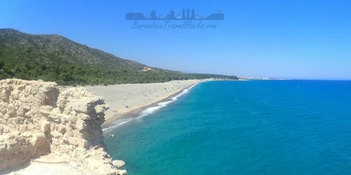
10 Coastal Hiking trails
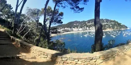
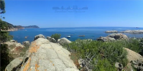
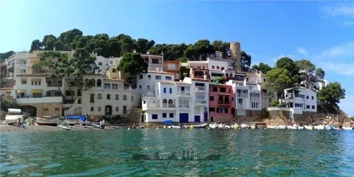
On the Costa Brava, the GR-92 starts at Portbou, goes around Cap de Creus, through the Aiguamolls de l'Emporda Natural Park, over the Montgri Massif and Les Gavarres Massif. The GR-92 at Begur follows the coastline through pituresque fishing vilages on the Costa Brava like Fornels, Tamariu, Llafranc, Calella de Palafrugell, la fosca de Palamos, Sant Feliu de Guixols, Tossa de Mar, Lloret de Mar and Blanes.
From Blanes the GR-92 trail goes inland but parallel to the coast up through Montnegre-El Corredor Natural Park towards Santa Coloma de Gramenet, crossing the River Besos and Collserola Mountains behind Barcelona. After Barcelona to the south the GR-92 enters the Garraf Natural park and rejoins the coastline at sitges to pass thorough more beutiful coastal towns and villages on the costa Durada such as Sitges, Roc de Sant Gaieta, Tamarit and arrives at Tarragona.
South of Tarragona at Ampolla the GR-92 Ronda dips inland again Crossing the River Ebre at Amposta and continuing until reaching Ulldecona, on the border between Catalonia and Valencia.
This section details numerous walking routes that can be done as one day or multiple day activities and cover some of the most spectacular parts of the GR-92 coastal trail.
Click on any of the images below to read about that section of the GR-92, view the photo gallery and find public transport maps for the relevant train or bus network that will get you to the start and finish of each section. Additionally there is a wikiloc walking route for each days activity.
Camí de la Ronda DAY 1 in Costa Brava
Camí de la Ronda DAY 1 of 3 hiking 12 Km from Palamós to Callella de Palafrugell in the costa Brava via the GR-92 trail
Read more >
Camí de la Ronda DAY 2 in Costa Brava
Camí de La Ronda DAY 2 of 3 hiking 11 Km from Callella de Palafrugell to Aiguablava-Fornells in the costa Brava via the GR-92 trail
Read more >
Camí de la Ronda DAY 3 in Costa Brava
Camí de la Ronda DAY 3 of 3 hiking 14 Km from Aigua Blava-Fornells to Begur castle in the costa Brava via the GR-92 trail
Read more >
Costa Dorada GR-92 Garraf To Sitges hiking trail
Easy 15km walk from Garraf port to Sitges via an open mineral mine, farmhouses and small hamlets, a cement factory and costal viewpoint with chapel
Read more >
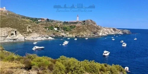
Colliure to Banyuls-sur-Mer Coastal Hike
17Km meduim Côte Vermeille coastal hike in Southern France via the town of Port Vendres and the Cap bear lighthouse interspersed with beautiful beaches
Read more >
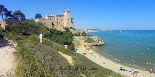
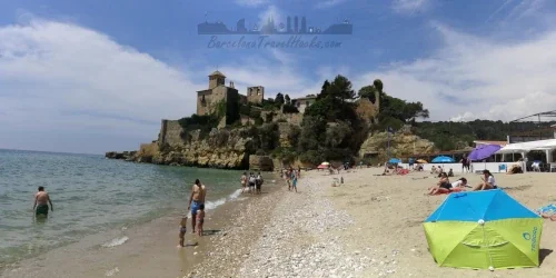
Costa Dorada Torredembarra To Tarragona GR-92 Coastal Walk
18km coastal walk from Torredembarra to Tarragona via a lighthouse, cliff views, roman ruins, watch tower, Tamarit castle, Waikiki beach, Arrabassada ruin
Read more >
Tarragona to Tamarit Castle GR-92 Costa Dorada Coastal walk
EASY 14Km linear Coastal walk via GR-92 from Tarragona via Abandoned Arrabassada Hospital, Waikiki beach, coves, pine forest trails & Tamarit Castle
Read more >
Sant Vicenç de Calders to Torredembarra Costa Dorada
EASY 12.7Km GR-92 coastal walk from Coma-Ruga to Torredembarra passing the picturesque fishing village of El Roc de Sant Gaietà & many natural beaches
Read more >
Costa Dorada La Ronda Ametlla De Mar To Ampolla Costal Walk
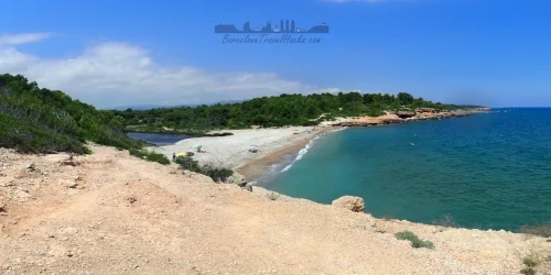
17Km MEDUIM GR-92 coastal walk from L'Ametlla de Mar to l'Ampolla, Passing via beautiful small coves and beaches backed by pine forests
Read more >
Wolfs Cave & El Torn Nudist Beach - Hospitalet del Infant
A Natural cave only accessible by the sea swimming 100m from a small beach. Beautiful long clothing optional beach backed by pine forest and mountains
Read more >
4 Aragon Rivers Hiking trails
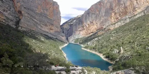
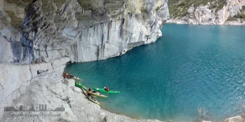
Aragon has plenty of river hikes in the Parque natural de la Sierra y los Cañones de Guara region of Huesca and Congost de Mont-rebei. These hikes are three to four hours from Barcelona and ideal for a weekend getaway.